|
 | Aitoff - Proposed by David A. Aitoff in 1889, it is the equatorial form of the azimuthal equidistant projection, but stretched into a 2:1 ellipse while halving the longitude from the central meridian. |
|
|
Bonne Projection - a pseudoconical equal-area map projection. All parallels are standard, with the same scale as the central meridian; parallels are concentric circles. No distortion along the reference parallel or the central meridian. | 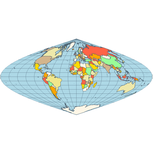 |
|
|
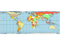
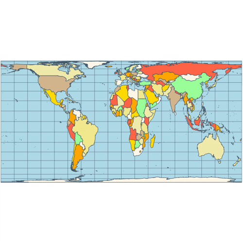 | Cylindrical Equal-Area - represents a cylindrical equal-area projection of the Earth. The following is a summary of cylindrical equal-area projection's special cases: Lambert, Behrmann, Tristan Edwards, Peters, Gall, Balthasart. |
|
|
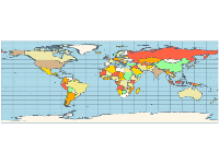
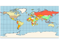
Equirectangular Map Projection - projection that maps meridians to equally spaced vertical straight lines, and parallels to equally spaced horizontal straight lines. | 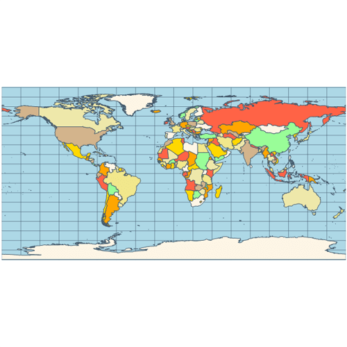 |
|
|
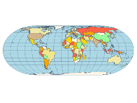
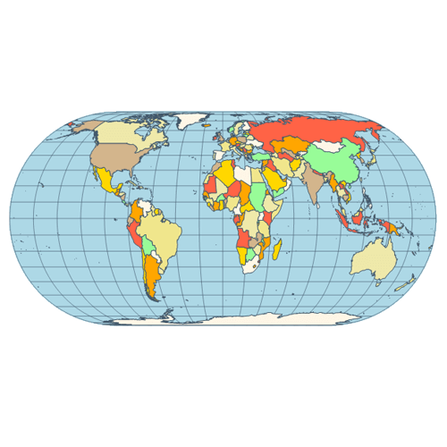 | Eckert IV - pseudocylindrical and equal area projection. The central meridian is straight, the 180th meridians are semi-circles, other meridians are elliptical. Scale is true along the parallel at 40:30 North and South. |
|
|
Eckert VI - pseudocylindrical and equal area projection. The central meridian and all parallels are at right angles, all other meridians are sinusoidal curves. Shape distortion increases at the poles. Scale is correct at standard parallels of 49:16 North and South. | 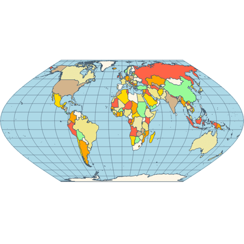 |
|
|
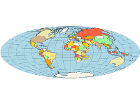
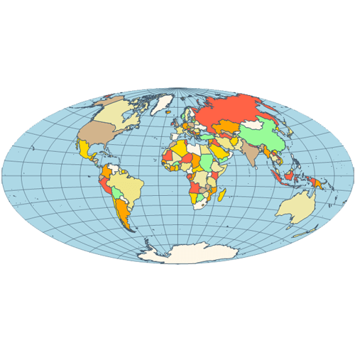
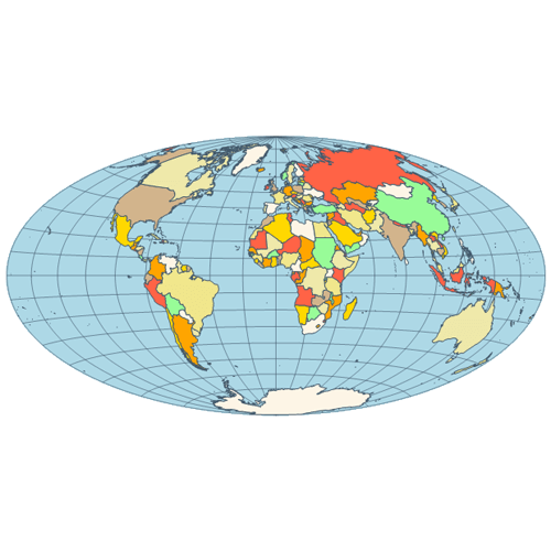 | Hammer - an equal-area map projection, described by Ernst Hammer in 1892. Directly inspired by the Aitoff projection, Hammer suggested the use of the equatorial form of the Lambert azimuthal equal-area projection instead of Aitoff's use of the azimuthal equidistant projection. Visually, the Aitoff and Hammer projections are very similar, but the Hammer has seen more use because of its equal-area property. |
|
|
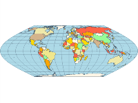
Kavrayskiy VII - a map projection invented by V. V. Kavrayskiy in 1939 for use as a general purpose pseudocylindrical projection. Like the Robinson projection, it is a compromise intended to produce good quality maps with low distortion overall. It scores well in that respect compared to other popular projections, such as the Winkel Tripel, despite straight, evenly-spaced parallels and a simple formulation. | 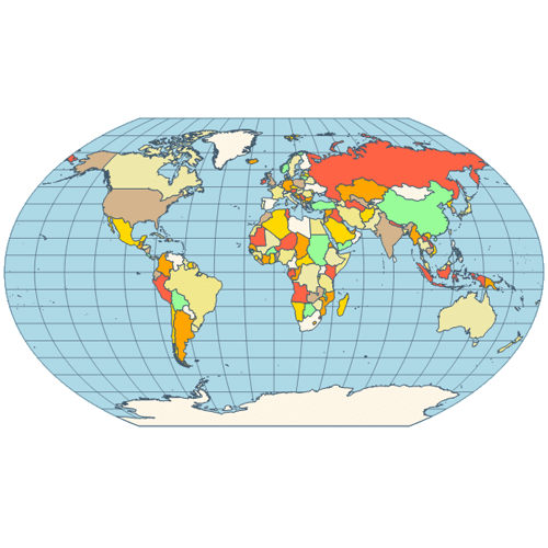 |
|
|
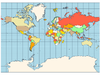
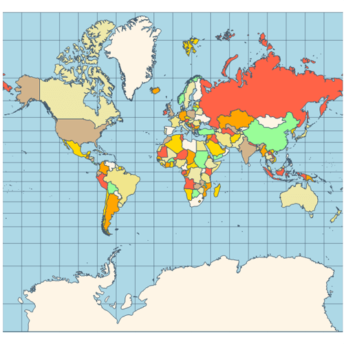 | Mercator - introduced in 1569 by Gerardus Mercator. It is often described as a cylindrical projection, but it must be derived mathematically. The meridians are equally spaced, parallel vertical lines, and the parallels of latitude are parallel, horizontal straight lines, spaced farther and farther apart as their distance from the Equator increases. |
|
|
Miller Cylindrical - a modified Mercator projection, proposed by Osborn Maitland Miller (1897-1979) in 1942. The parallels of latitude are scaled by a factor of 0.8, projected according to Mercator, and then the result is divided by 0.8 to retain scale along the equator. | 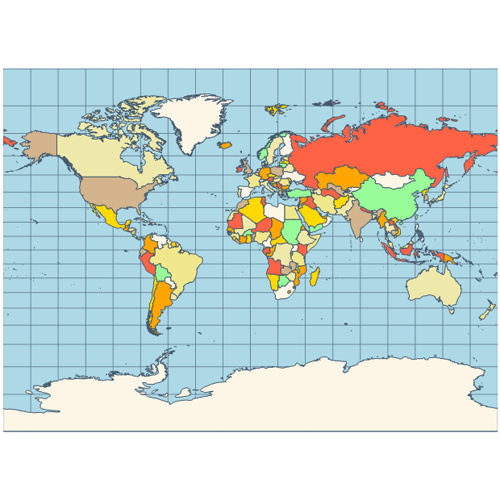 |
|
|
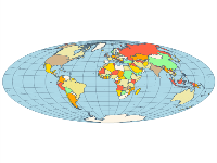
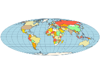
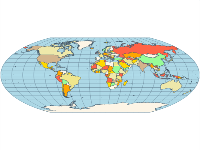
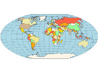
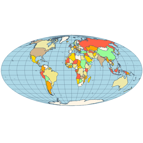 | Mollweide - The Mollweide projection is a pseudocylindrical map projection generally used for global maps of the world (or sky). Also known as the Babinet projection, homolographic projection, or elliptical projection. |
|
|
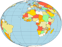
Orthographic Projection - a perspective (or azimuthal) projection, in which the sphere is projected onto a tangent plane. It depicts a hemisphere of the globe as it appears from outer space. The shapes and areas are distorted, particularly near the edges, but distances are preserved along parallels. | 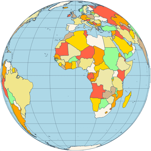 |
|
|
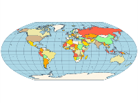
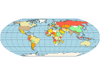
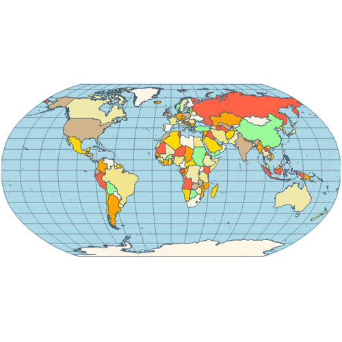 | Robinson - made in 1988 to show the entire world at once. It was specifically created in an attempt to find the good compromise to the problem of readily showing the whole globe as a flat image. The projection is neither equal-area nor conformal, abandoning both for a compromise. The meridians curve gently, avoiding extremes, but thereby stretch the poles into long lines instead of leaving them as points. |
|
|
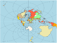
Stereographic - it is a particular mapping (function) that projects a sphere onto a plane. The fact that no map from the sphere to the plane can accurately represent both angles (and thus shapes) and areas is the fundamental problem of cartography. | 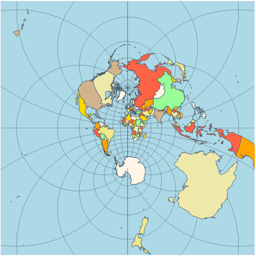 |
|
|
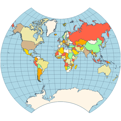 | Van der Grinten Projection - neither equal-area nor conformal projection. It projects the entire Earth into a circle, though the polar regions are subject to extreme distortion. The projection offers pleasant balance of shape and scale distortion. Boundary is a circle; all parallels and meridians are circular arcs (spacing of parallels is arbitrary). No distortion along the standard parallel at the equator. |
|
|
Wagner VI - a pseudocylindrical whole Earth map projection. Like the Robinson projection, it is a compromise projection, not having any special attributes other than a pleasing, low distortion appearance. | 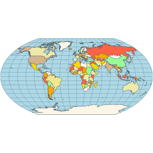 |
|
|
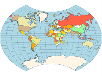
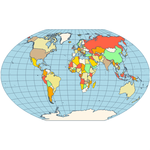 | Winkel Tripel - a modified azimuthal map projection proposed by Oswald Winkel in 1921. The projection is the arithmetic mean of the equirectangular projection and the Aitoff projection. Goldberg and Gott show that the Winkel Tripel is arguably the best overall whole-earth map projection known, producing very small distance errors, small combinations of ellipticity and area errors, and the smallest skewness of any map. |
|
|

 Open Vision for .NET
 NOV Chart for .NET
 NOV Diagram for .NET
 NOV Rich Text Editor for .NET
 NOV Grid for .NET
 NOV Schedule for .NET
 NOV Gauge for .NET
 NOV Barcode for .NET
 NOV User Interface for .NET
 Vision for .NET
 Chart for .NET
 Diagram for .NET
 User Interface for .NET
 Vision for SSRS
 Chart for SSRS
 Gauge for SSRS
 Map for SSRS
 Barcode for SSRS
 Vision for SharePoint
 Chart for SharePoint
 Gauge for SharePoint
 Map for SharePoint
 Barcode for SharePoint